Wingtra One can take off and land almost anywhere even in confined spaces or on rough terrain. This enables you to collect data where other drones cannot.
Wingtra One’s unique set of features empowers you to minimize your time flying and get more work done, be it another project in the field or analyzing your data at the office.
Fly at 16m/s for up to 59 minutes per flight for large coverage.
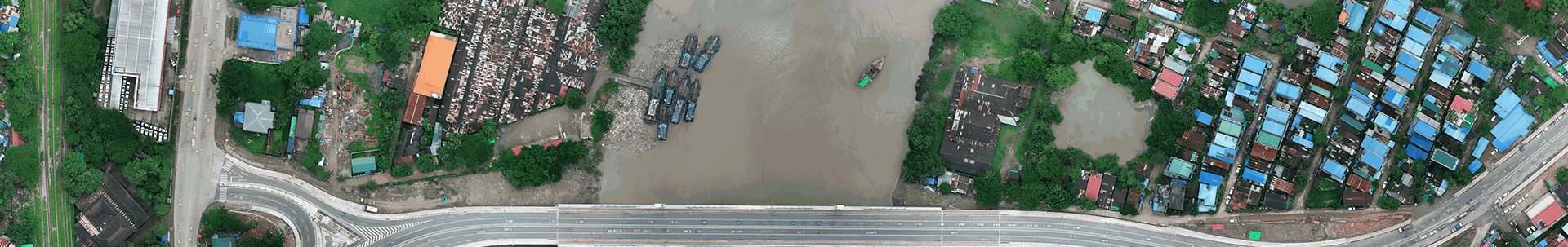
WingtraOne can fly higher than drones limited to 20MP cameras, so you capture more ground and more detail with every picture and a large area per flight.
No more GCPs, check point only
With an onboard high-precision PPK GNSS receiver you no longer need to lay out ground control point (GCPs). Use as few as three checkpoints to verify your map quality.
High quality optics means you can reconstruct your map reliably even with lower overlaps. This means more new ground covered per flight line and maximum coverage per flight.


